
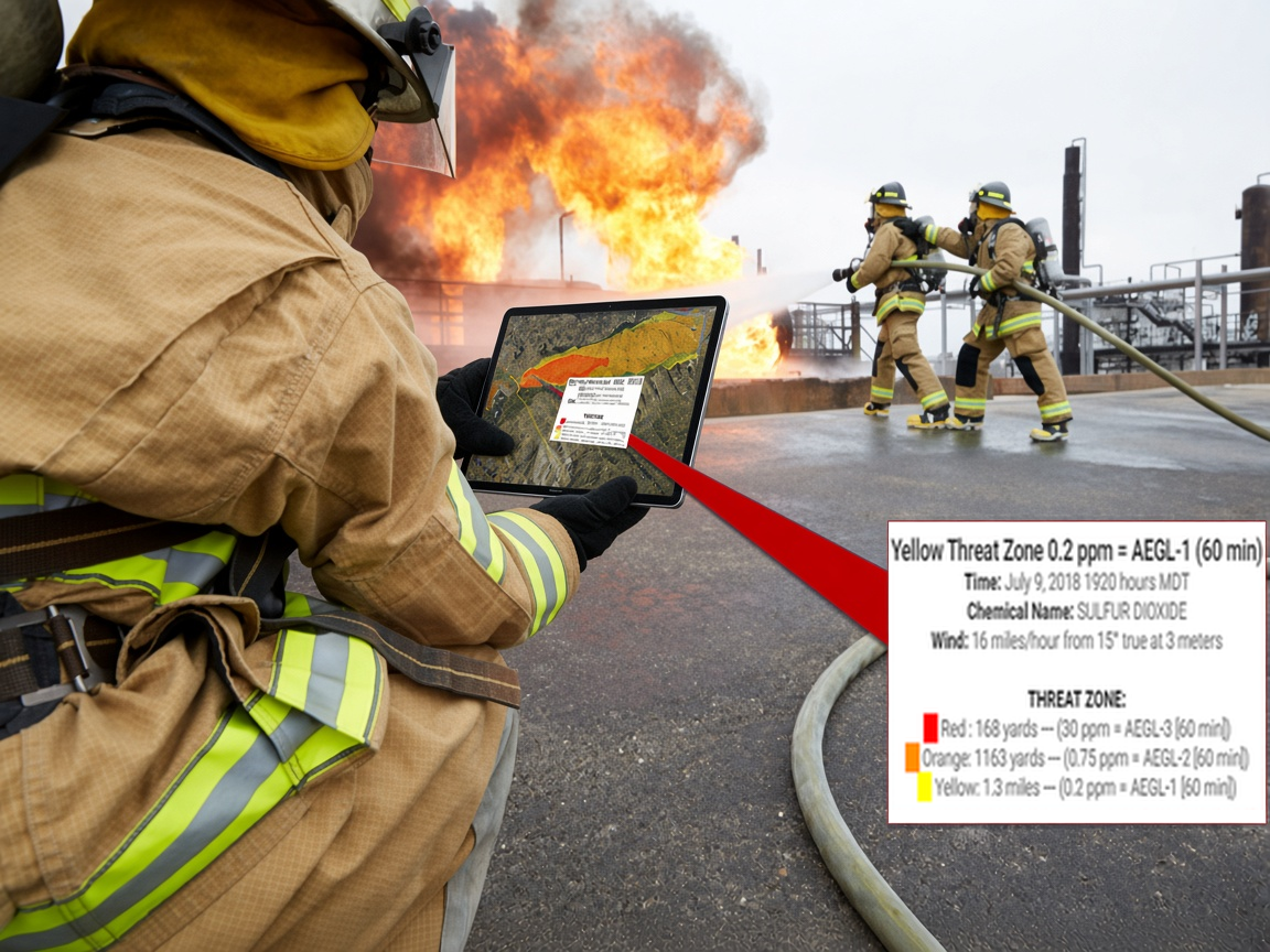
Utilizing public weather sensors, or portable weather sensors already in place near critical infrastructure, hazmat response teams can begin assessing the impact of a chemical plume release in as little as 5 minutes.
Before you arrive
Set the incident location by address (with autocomplete) or by dropping a pin, choose the chemical and release details, and LR-x® pulls weather from the nearest public station. The current-conditions model and plume overlay come back in about five minutes, so the first decisions on staging, the command post and evacuation can be made before the rig stops.
On scene
Tip up a WEATHERPAK® and LR-x® switches to that station’s readings automatically. Forecast models show how the threat zone is expected to shift, and color-coded wind speeds and streamlines show what the terrain and buildings are doing to the air.
After the incident
Live incidents and what-if training runs are archived together in Model History, searchable by incident name or date, which shortens the after-action write-up.
Why teams moved off desktop ALOHA
LR-x® runs the NOAA/EPA ALOHA dispersion model in the cloud. There is nothing to install or update on a laptop in the response unit, and the result sits on a map with a 3D wind field underneath it.