
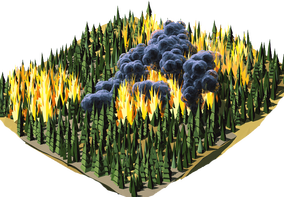
LR-x® tracks dangerous wildfire smoke and helps focus wildfire management efforts. In April 2011, the Army Research Laboratory tested the system (then called L-REAC™) in a real emergency, and civilian emergency responders considered it a vital tool.
The Abrams Fire, 2011
The Abrams Fire started on April 30, 2011 during military exercises in the White Sands area and eventually burned 12,500 acres. Smoke drifted over Las Cruces, New Mexico, and local authorities had to seriously consider a community-wide evacuation.
According to ARL, for the next three days the L-REAC™ system produced wind fields and sampled data for the Installation Operations Center, fire and rescue departments and the New Mexico offices of the Bureau of Land Management. Decisions not to evacuate the region, and when to set a preventive backfire, were made in part on the system’s output. Read the Abrams Fire case study (PDF).
Wind over real terrain
The ARL 3D Wind Field model in LR-x® uses NASA Shuttle Radar Topography Mission elevation data covering about 80% of the world, and USGS 1 arc-second elevation models for the entire U.S. and U.S. territories. That lets it show wind channeling along drainages and speeding up over ridges, which a single weather station reading can’t. How the 3D wind field model maps wind over terrain.
The real-time 3D wind field, plume and forecast models can be exported as KML files for use in ArcGIS, next to fire perimeters and other incident layers you already keep.