Communicate
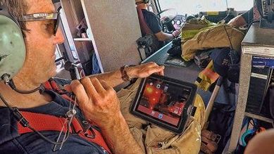
LR-x® offers continuous connectivity to a wide spectrum of platforms rolled into one streamlined and easy-to-use application accessible via a secure website. The application provides seamless communication with all members of your team viewing the same information off any mobile device they use – iPhone and tablet, to name a few. Both live and
what-if-scenario model runs are archived and available for immediate viewing.
what-if-scenario model runs are archived and available for immediate viewing.
|
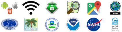
Content integration of topographical mapping systems including Google Maps, ESRI and Open Maps reduces time spent gathering information. Housed in a cloud database, these maps allow for instant Point of Interest/Incident location anywhere within the USA or US Territories and utilize USGS 1 Arc-second Digital Elevation Models (DEMs).
|
|